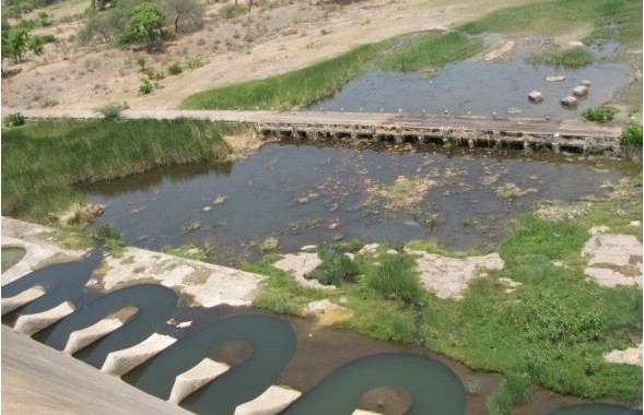
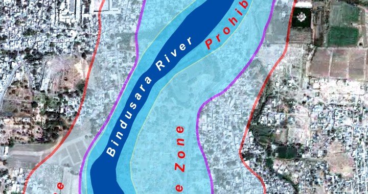
Seasonal flood and breaches in dam cause excessive damage to life and property in various parts of the country. Looking into this Scitech Park came up with a proposal to model different dam break scenarios, demarcate the flood line, map properties lying within the danger zone, mark and map, prohibitive zone, restrictive zone and cautious zone along the river and finally prepare the land use and land cover map of the region and preparation of the Emergency Action Plan to identify in advance the type of emergencies, which are likely to occur in connection with operation of any reservoirs. This included identification of probable areas, population, or structures and installations likely to be affected adversely due to the water stored in the reservoir or due to the flood water let from the reservoir or the likely catastrophic floods in the event of failure of the dam.