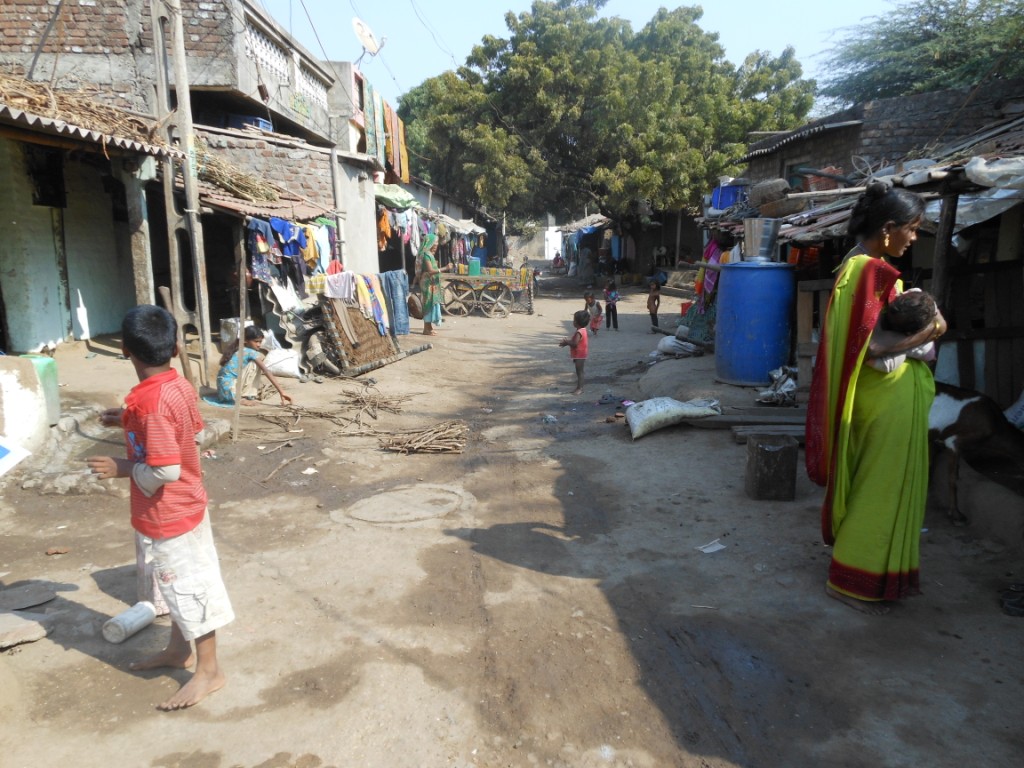
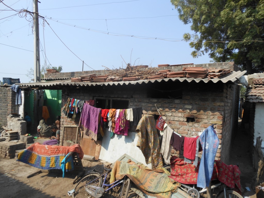
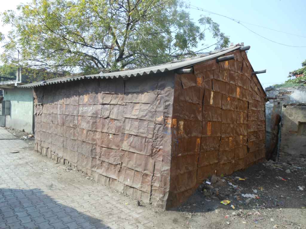
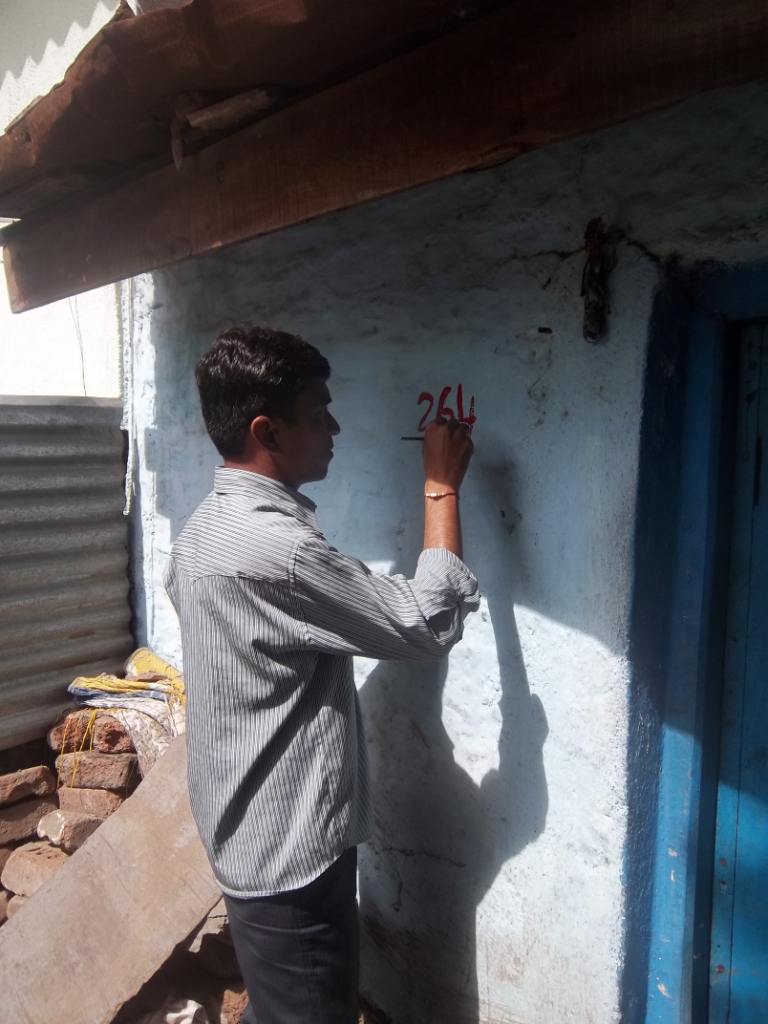
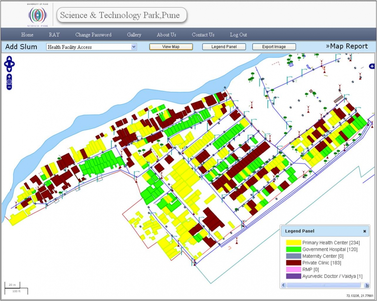
Government of India announced a National level scheme for slum dwellers and the urban poor named as Rajiv AwasYojana (RAY), aimed at creating a Slum Free India by providing support to states to assign property rights to slum dwellers. Apart from this the program acts for providing slum dwellers basic amenities to the level available in the city and readdress the failures of the previous system that leads to the creation of slums. Based upon this Science and Technology Park was entrusted to conduct GIS Mapping using satellite images, Total Station, Socio-economic Survey, RH/RD Planning, preparation of Detailed Project Report under the Rajiv Gandhi AwasYojana (RAY) for Urban Local Bodies. The scope also included development of Centralized Online Application which can act as an interface between the Socio-Economic data collected in the field and GIS Maps and datasets generated for that particular household or slum.
Product 2
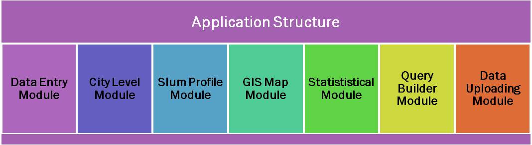
With a Vision to roll out a National level Integrated GIS-MIS Application (IGMA) under RAY Program, software development was initiated which could handle both Socio-Economic and GIS data on a single platform and make each other talk intelligently by delivering analysis reports. The application is on open source platform and independent of host operating system. The application developed is scalable, secured and light weight with a capacity to handle enormous data (both MIS and GIS) database collected during various initiatives for slum improvement program. The application runs on the web and can be hosted on a centralized (State/National) level data server and can be accessed by authorized nodal users at district, state and central level. The main interacting interface of the Application delivers various capabilities and initiatives undertaken within RAY program.