Survey & GIS for Local Area Planning
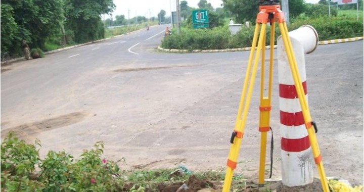
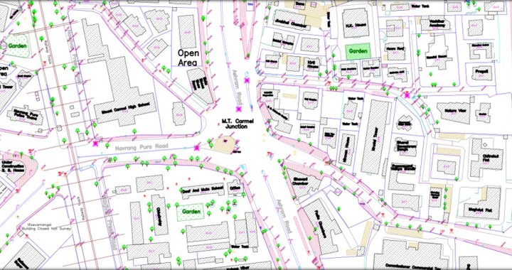
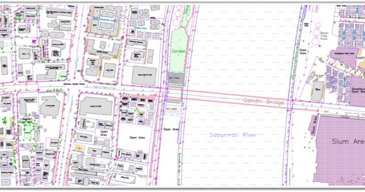
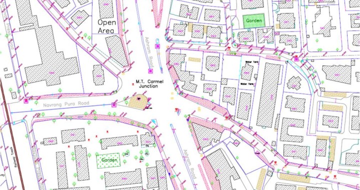
City Development Plan mandates the preparation of Local Area Plan for the area of interest. In order to ensure that the urban design and infrastructure development in these zones supports the proposed higher densities and promote the use of public transit. Scitech Park, Pune has conducted accurate and precise topographic survey of demarcated piece of land or zone to facilitate preparation of Local Area Plan using the modern tools of Electronic Total Station and DGPS. The survey has detailed out and mapped each and every above ground components in three specified zones namely Central Business District, Transit Oriented Zone and Residential Affordable Housing Zone. These maps are helpful to the Development Authority in Urban Planning.