Flood Inundation Modeling
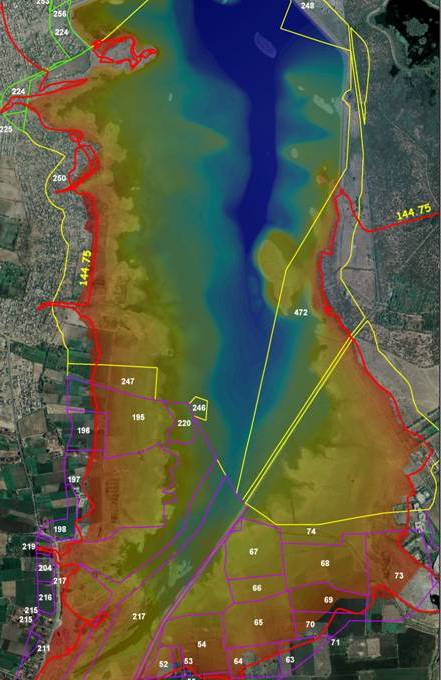
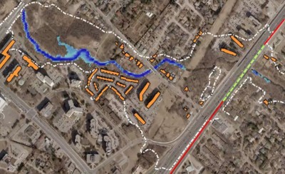
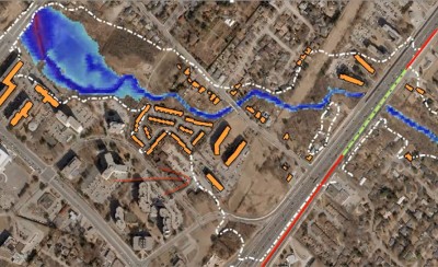
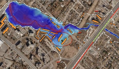
Flood inundation mapping and demarcation of flood hazard zones helps in establishing risk potential for assets having insurance value. Based on precipitation data and local hydro-geological parameters; rainfall-runoff modeling is performed to establish areas that shall get inundated based upon scenarios generated post precipitation frequency analysis. This is a unique initiative taken up by the GIC Re wherein risk based reinsurance and coverages shall be studied to so that capabilities for assessing flood peril impact and accumulation control for insurance and reinsurance purpose.


